As the world shifts toward sustainable transportation, electric vehicles (EVs) have become a common sight on city streets. However, the EV boom poses a conundrum for city planners and EV adopters alike: while it takes just minutes to refill a fuel tank, it can take hours to top up a set of batteries.
“As EV charging takes time, drivers in dense urban areas can struggle to locate available parking lots—especially during peak hours or busy hotspots—forcing them to drive longer distances to access charging,” explained Rui Zhu, a Senior Scientist at the A*STAR Institute of High Performance Computing (A*STAR IHPC). “A spike in charging demand can also challenge power grid stability.”
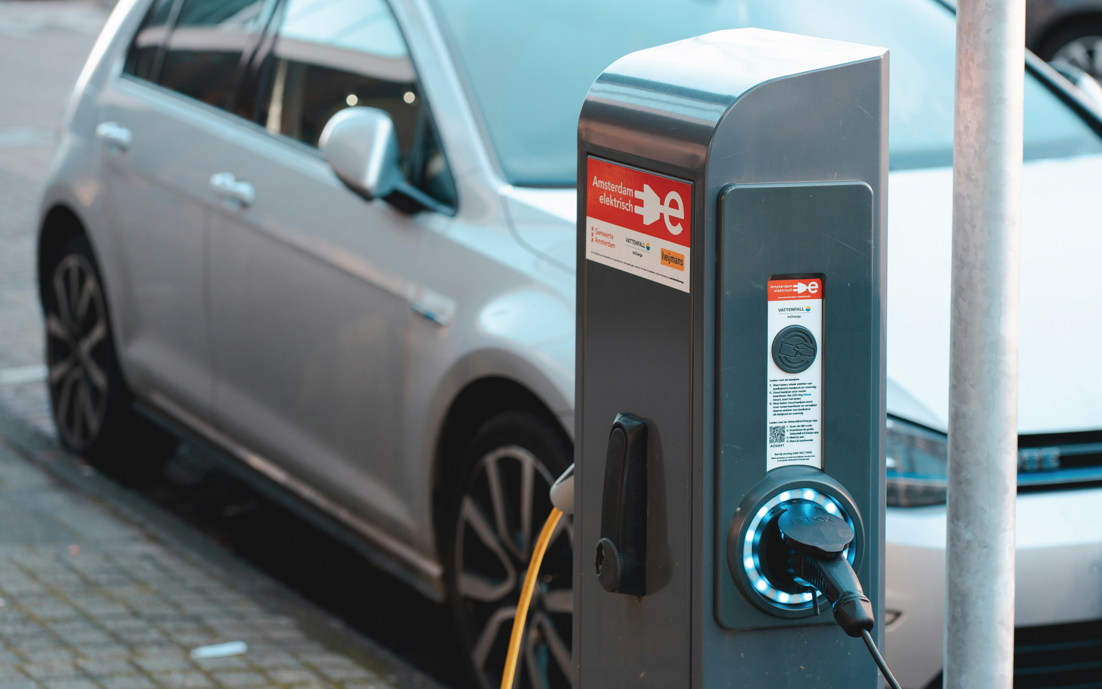
Roadside charging piles offer a compact alternative to chargers found in dedicated carparks, as they can be placed on small streets and therefore more widely distributed across a city. However, it can be difficult to identify optimal locations for charging piles, as EVs need to be able to park beside them for hours without disrupting traffic flows or power grid capacity.
“It is imperative for urban planners to estimate charging demands at city-scale to optimise the locations, quantity and power demand of roadside chargers,” Zhu added.
Faced with this challenge, Zhu teamed up with researchers from the National University of Singapore and institutes in China, developing an integrated deep learning (DL) model that estimates city-wide roadside charging capacity and potential sites for new chargers. Tapping into Geographical Information Science (GIScience) data, DL-enhanced street view images (SVIs) and 3D geometry projections, the model aims to effectively simulate real-world geospatial surveys for urban planning.
“SVIs are an essential source of rich, city-wide information on roads and streets,” said Zhu. “Through DL-based visual detection and urban landscape understanding, we can harness SVIs to identify and suggest suitable roadside EV charging locations.”
The team’s three-module framework first identifies roads in government-authorised parking zones (APZs). The model then analyses SVIs collected from these zones to detect objects in the surrounding landscape—such as trees, sidewalks and buildings—which help determine a neighbourhood's function, whether residential, commercial or otherwise, and pinpoint streets suitable for roadside charging.
Finally, the model transforms the flat 2D SVIs into 3D geometry, enabling estimates of available roadside parking areas at each location, as well as potential charging capacity based on existing EV charging records.
By testing their model using more than 55,000 SVIs collected across Singapore’s APZs, the team identified 54,812 potential roadside parking stalls spanning 6,761 commercial and residential locations.
“We foresee that this framework can help guide policy regulations to expand EV parking and charging capacity,” said Zhu. “Our ultimate goal is to provide a city-scale dataset of island-wide outdoor parking stalls, along with prospective locations for photovoltaic (PV)-powered EV charging bays.”
The A*STAR-affiliated researchers contributing to this research are from the A*STAR Institute of High Performance Computing (A*STAR IHPC).